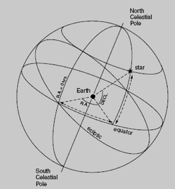
This system has been used by astronomers since ancient times. It is an x-y coordinate system, recorded as the intersection of two circles on an imaginary sphere. The observer is at the center (i.e., on Earth looking out).
The circles are lines of longitude and latitude. One set of circles runs perpendicular to the celestial equator, ascending overhead from the observer’s horizon. So for example, for an observer at the Earth’s equator, the lines of “right ascension” (measured in hours, minutes, and seconds) record objects apparently rising in the east. The other set of circles runs parallel to the celestial equator (declination, measured in degrees).
But this is the key point: from our view on Earth, looking out at a spot in space, we of course do not see a sphere; we don’t “see” a 3-dimensional view. What we “see” is a 2-dimensional cross section of the sky, as if we were looking at a movie screen. So our view is distorted, from 3 dimensions into 2. How does that fact change how we should interpret what we see?
Let’s explore what we actually “see”, to learn a few skills to interpret the data that we can collect.
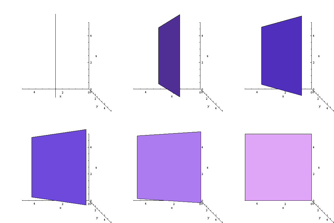
We can start off by looking at the very simplest coordinate systems, to hone our skills at imaging the rotation from 3 dimensions to 1 or 2 dimensions.
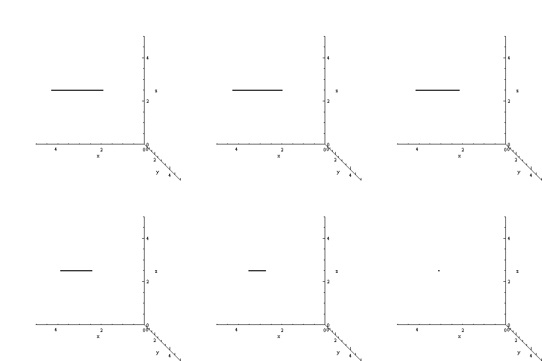
A Line in 3D Space
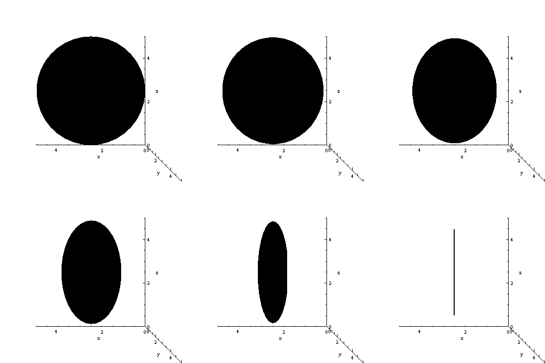
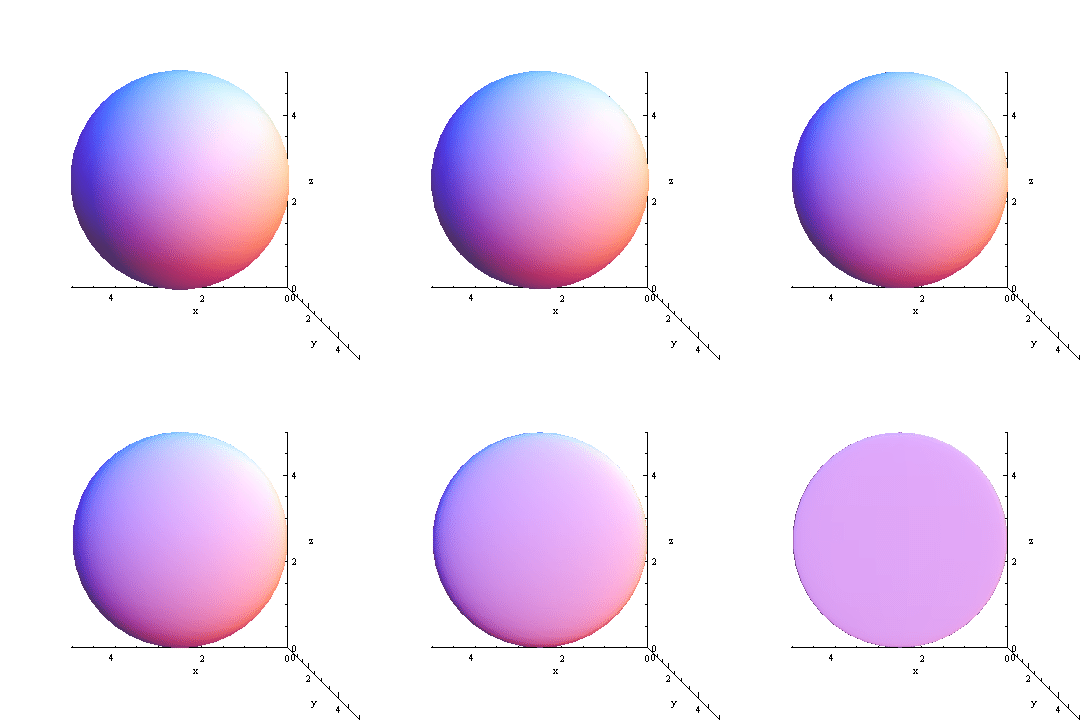
As you can see, this is a line rotating through 90 degrees. The result is that we are looking at a one dimensional object from the point of view of the one dimension itself. So we have effectively reduced the dimension to 0, which is why we see a point. The same thing works for other objects in other dimensions.
